Landscape conservation through planning
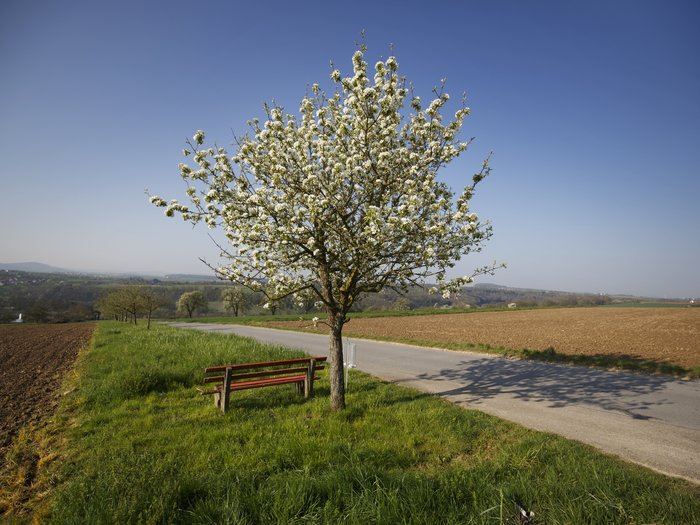
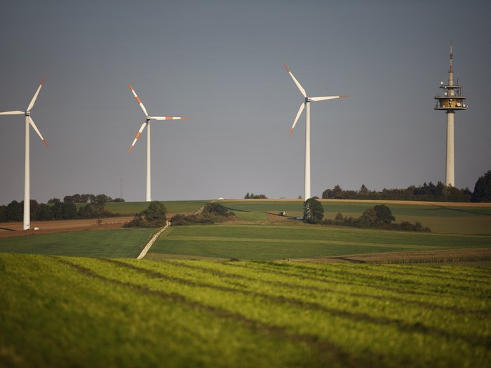
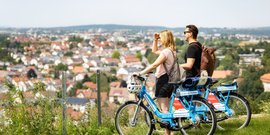
Field landscapes, steep vineyards and orchards: The landscape of the Stuttgart Region has many facets. The extensive mixed forests of Schönbuch and Glemswald are also attractive, not forgetting the extensive natural areas of the Swabian Alb and the Swabian-Franconian Forest. Urban structures and traffic routes have developed in this environment. On the one hand, there are always new insights into the diverse landscape elements. On the other hand, the demands and effects of settlements, infrastructure and the economy require planning responses. Regional landscape planning is therefore an important building block for the development of the Stuttgart Region.
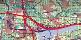
For the update of the regional plan, information on the state of nature and landscape was collected and evaluated in a geographic information system (GIS). The data is available to the local authorities for landscape and land use planning and can be requested from the Verband Region Stuttgart. For example, GIS data is available on:
Data and queries on the landscape master plan
In addition, the Verband Region Stuttgart is investigating the compensation process in the region and developing innovative and integrated strategies on how to optimize the compensation of interventions in nature and the landscape in the future. After all, when construction is required, compensation must be provided on a regular basis. Municipalities and administrative communities in the Stuttgart Region can obtain this GIS data free of charge for their municipal planning (land use plan and landscape plan). Send inquiries with the subject: "GIS data in landscape framework planning" to regioriss(at)region-stuttgart.org.
Compensation
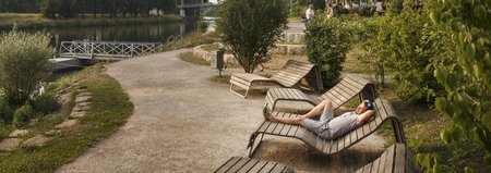
In the densely populated Stuttgart region, the pressure on open space is high. Agricultural production of regional foodstuffs, nature and landscape conservation, the desire for recreational areas close to nature and the need for development areas for urban uses are in strong competition with each other. In this context, it is often difficult to find areas to compensate for constructional interventions.
- How can this conflict situation be defused?
- What opportunities are there to develop compensation measures with added value through forward-looking, integrated planning and better cooperation between all parties involved?
- How can compensation take place in the agricultural landscape without permanently removing valuable land from agricultural use?
The knowledge pool "Compensation with added value", which was developed as part of the RAMONA research project , provides answers to these and other questions relating to the topic of compensation.



![[Translate to English:] S-Bahn](/fileadmin/_processed_/3/d/csm_058_-_S-Bahn_Stuttgart_ho___ehengleicher_Einstieg-1-rwilling_ce82cb0b0e.jpg)





![[Translate to English:] [Translate to English:]](/fileadmin/_processed_/a/e/csm_20090722_Regionalplan_Beschluss_retouschiert_c_Frank_Eppler_67c4a6cf86.jpg)
